Staying Ahead in a Rapidly Changing Field: Alex Oliver’s Story
Alex Oliver shares what it’s like to be a GIS analyst and remote pilot
At Jacobs, we operate at the forefront – helping our clients solve some of the world's biggest challenges with solutions that will shape generations and communities to come.
In 2024, we're showcasing how our people deliver on our strategy by embedding a digital-first way of thinking across Jacobs.
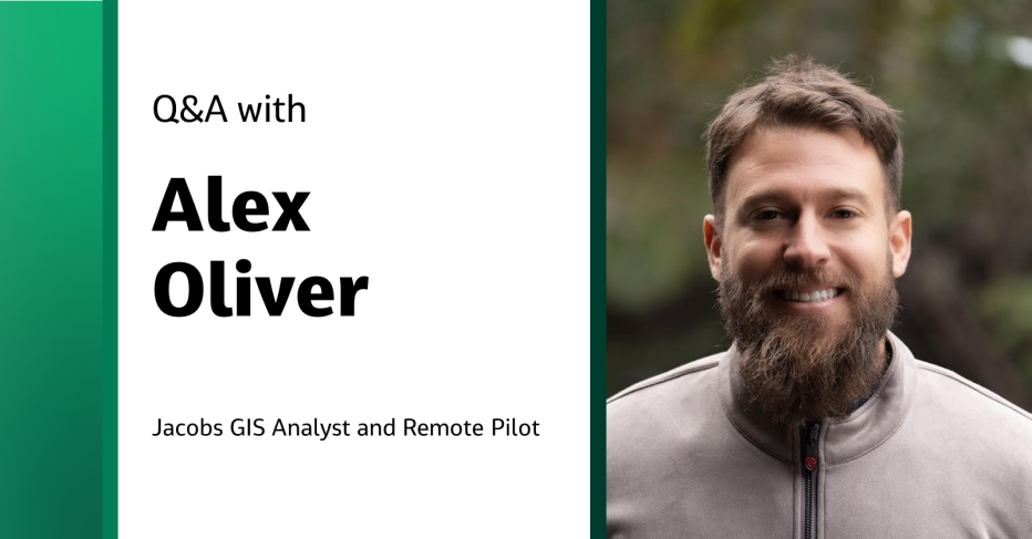
We connected with Geographic Information System (GIS) Analyst and Remote Pilot Alex Oliver to learn about his role, how he got into the field and what he likes about working at Jacobs.
What does it mean to be a GIS analyst?
As a GIS analyst, I focus on managing databases and developing web applications to make geographic data easily accessible to project teams and clients. My role includes collecting and organizing spatial data, creating web-based solutions for visualization, and collaborating across departments to enhance decision-making processes. It's a dynamic blend of technical skills and geographical expertise to optimize workflows within our organization.
You also have “remote pilot” in your title. What does that mean?
The title "remote pilot" signifies my role in operating uncrewed aerial vehicles (UAVs), or drones, for a range of applications. We collect data using various sensors depending on the specific data requirements. Most job requests involve mapping or 3D modeling of project sites, as publicly available site imagery is often outdated and does not reflect current conditions.
How did you get into remote piloting?
I started in the first-person view flying – where pilots use specialized goggles to experience the drone’s flight in real-time. It provides an immersive experience – almost like being a jet pilot! I did that for a bit and then expanded my skills to learn photography and videography drones – which allowed me to understand the various uses of UAVs in mapping, surveying and infrastructure inspection, for example.
How do you stay current in this area?
Staying current in our field is a continuous challenge, especially considering the rapid pace of change. On the GIS side, the landscape evolves swiftly, and falling behind even a few weeks means missing out on new functionalities and trends within the community.
In the UAV realm, technology and legal guidance are in a perpetual state of evolution. New UAV models and sensors are consistently introduced and refined, demanding a weekly commitment to stay informed about the latest technological advancements. Recent mandates, such as Remote ID, add complexity to our operations but underscore the necessity for the regulatory sector to adapt to rapid technological advancements. Despite these challenges, our teams benefit from the strong communities of practice at Jacobs – fostering knowledge exchange and collaboration. These groups serve as a valuable resource, enabling us to collectively stay informed about industry updates, share experiences, and anticipate upcoming technologies.
What do you like about working at Jacobs?
The people – we have a huge pool of talent. Whether you’re navigating unfamiliar technology, workflows or standard practices, it’s guaranteed you can find someone who is knowledgeable about it. It's the collective wealth of experience and the willingness of colleagues to share their expertise that truly makes working at Jacobs a rewarding experience.

Alex Oliver is a GIS analyst and remote pilot with six years of experience in Geographic Information System (GIS) database management and analytics, Unmanned Aircraft System (UAS) data collection and processing, reality capture and 3D modeling, UAS inspection workflows and automation.
Join #OurJacobs team
What drives you drives us as we work to build a better world – together. At Jacobs, every day is an opportunity to make the world better, more connected, more sustainable. We’re always looking for dynamic and engaged people to join our team. Bring your passion, your ingenuity and your vision.
