


Jacobs. A world where you can.
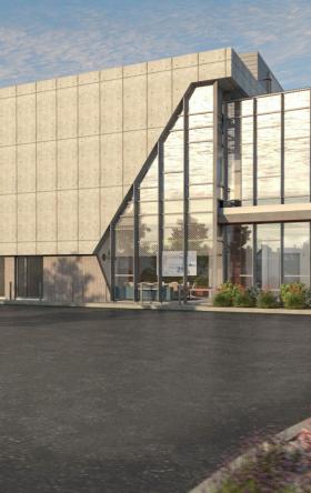
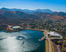

As climate change threatens water security around the world, more communities are turning to water reuse as a resilient water supply solution and embracing the OneWater principle that all water has value. Jacobs has been supporting clients with water reuse programs for decades, beginning with the first applications of advanced wastewater treatment technologies in the 1960s. We provide our clients with a full range of services, from water reuse feasibility studies to design, construction and operations.

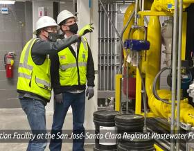
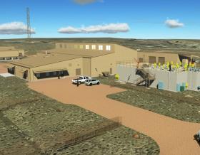
We’ve provided design-build services to the water sector for over 25 years and delivered more than 150 projects. We offer fully integrated design-build and design-build-operate capabilities to tackle the most complex water challenges and work in close collaboration with our clients.


For more than 30 years, Jacobs has been responsible for planning and implementing Lead and Copper Rule-related strategies which protect millions of people in the U.S. and Canada. Our work includes enhanced water quality monitoring strategies, sampling plan development, harvested pipe-scale analysis, lead service line inventories and replacement plans, corrosion control studies and the incorporation of equity and environmental justice considerations into compliance programs.


A curated selection of some of the top-listened to and trending podcast episodes from our popular If/When podcast series.


As a purpose-led company, we know we have a pivotal role to play in addressing the climate emergency. We consider this not only good business, but our duty to channel our technology-enabled expertise and capabilities toward benefitting people and the planet.


We work in partnership, delivering some of the most challenging, diverse and innovative projects and programs globally across multiple sectors. We integrate complex interfaces across planning, procurement and delivery to help unlock better social, environmental and economic outcomes from mega and giga projects.


As our clients navigate the digital transformation and growing cyber risks, we have positioned ourselves at the forefront of this growth, adding digital capabilities, products and tools to serve a growing set of customers.


Sit down with our visionary team of thinkers, dreamers and doers to see what a day in the life is like.


Together with our visionary partner, PA Consulting, we're establishing our position in high end advisory services, creating a springboard to expand in high value offerings beyond the core.


At Jacobs, we're challenging today to reinvent tomorrow by solving the world's most critical problems for thriving cities, resilient environments, mission-critical outcomes, operational advancement, scientific discovery and cutting-edge manufacturing, turning abstract ideas into realities that transform the world for good. With approximately $16 billion in annual revenue and a talent force of more than 60,000, Jacobs provides a full spectrum of professional services including consulting, technical, scientific and project delivery for the government and private sector.

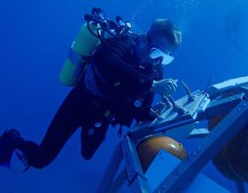

The only certainty about the future is uncertainty. Resilience is an attribute of a smarter planet, and requires planning and adapting ahead of potential threats. We help our clients survive, recover, adapt and thrive.


Jacobs is working to help clients across the United States secure federal funding for projects that make our cities and communities more connected and sustainable. Working hand-in-hand with clients from coast to coast and everywhere in between, Jacobs develops bold, innovative solutions to address the nation’s toughest challenges.

Now more than ever, we appreciate the hard work, sacrifice and dedication of the medical profession in ensuring the health and safety of our communities.


Together, we are stronger. Together, we can transform the future.
Stories that capture our partnerships and innovative impact for a more connected, sustainable world


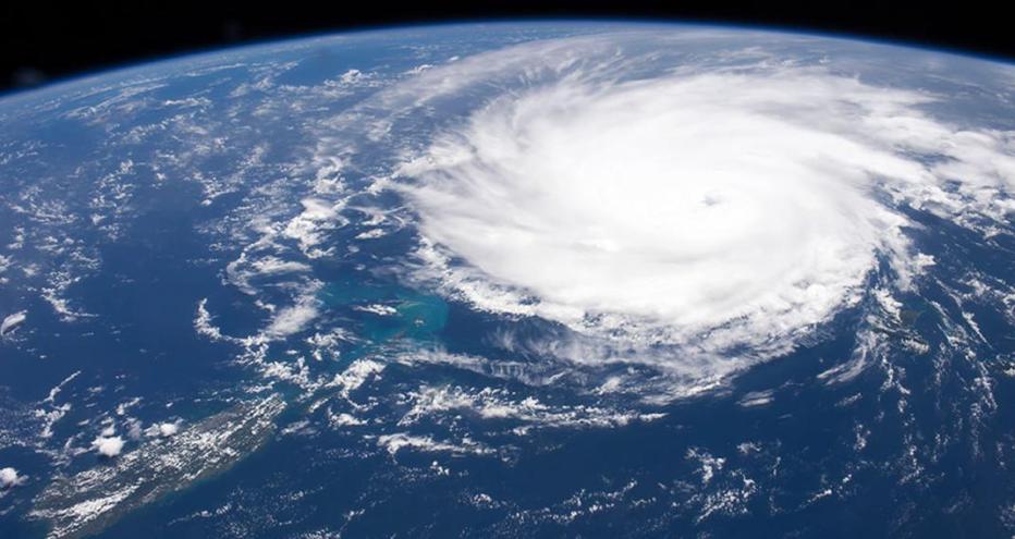
It’s a bird, it’s a plane. Wait no, it’s the International Space Station (ISS)! Even if you live in a big city, you might be able to spot the station overhead on a clear day because it’s powered by an acre of solar panels.
The largest manmade object in space, ISS remains in continuous orbit an average of 240 miles above Earth’s surface and in 24 hours, it makes approximately 16 orbits of Earth, traveling through 16 sunrises and sunsets and covering more than 90% of global population.
It’s no secret that global predictions for an unpredictable climate come with increased disaster risks. As the frequency and severity of weather events intensify and populations grow, the potential impact on governments, cities and businesses around the world is constantly increasing.
But what if we showed you how Jacobs and NASA scientists are leveraging remotely-sensed data acquired by ISS’s orbital sensor systems, and captivating images from 240 miles overhead to provide critical disaster response aid, and help communities recover and become more resilient?
of Earth’s population covered by ISS orbit, astronauts taking millions of images of the planet below
images documenting natural and humanmade disasters and aiding in respond around the world since 2012
“Remotely sensed imagery can provide both detailed and panoramic views of the Earth in relatively short periods of time. Such capabilities are paramount for effective disaster response. The numerous types of remote sensing sensors available, including handheld cameras, provide data that is often complimentary to one another thereby providing improved disaster response.”
Lisa Vanderbloemen
Jacobs Manager of Exploration Science/Earth Science & Remote Sensing Unit (Retired)
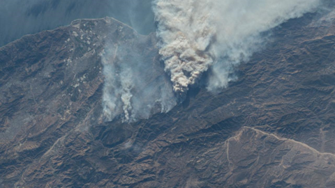
Image credit: Gateway to Astronaut Photography of Earth
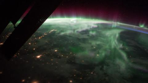
Image credit: Gateway to Astronaut Photography of Earth
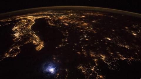
Image credit: Gateway to Astronaut Photography of Earth
Traveling at a speed of five miles per second, the team of six astronauts living and working aboard the ISS orbit Earth every 90 minutes. This team has a unique vantage point to document Earth’s dynamic environment including its geology, meteorology, geography, oceanography and ecology.
Down on Earth, Jacobs’ team of scientists at the Johnson Space Center (JSC) in Houston help provide these specialized, remote-sensing, science operations and observation services to the ISS program, including guiding astronauts to produce scientific photography and enhancing the imagery’s educational impact.
The ISS-generated images – capturing everything from impact craters, glaciers, volcanoes and aerosols to cities, storms and lightning and natural disasters – give primary data on the state of the Earth and compliment traditional automated sensor systems. In addition to the astronauts’ real-time observations using handheld cameras, the ISS’ orbital sensor systems provide a vital tool to identify the extent of damage from natural disasters and can even provide mapping support to aid response efforts on the ground.
Almost every day, new target image requests – a combination of scientific, educational, crew and public affairs needs – get added to the team database. The Jacobs team on ground checks the ISS orbit tracks alongside ground targets, the sun elevation angles for the target and weather conditions to ensure the crew can view the ground target requested. Once all checks are passed, the target will be included in the daily target capture list for the team aboard ISS.
When possible and applicable, the team at JSC will request the astronauts capture imagery before a natural disaster hits an area. This is primarily the case when a large tropical storm is forecasted to hit a specific area, as our team can keep up-to-date with when and where a storm will hit. Pre-storm and post-storm imagery is invaluable when assessing storm damage, including flooding, infrastructure damage, power outages and other factors.
Since 2012, we’ve delivered more than 4,200 images in support of the U.S. Geological Survey/Disaster Program documenting natural and humanmade disasters around the world, including Hurricane Florence and the Kilauea volcanic eruption in 2018.
During Hurricane Florence, a Category 1 hurricane in 2018, teams captured imagery of the hurricane as it formed. And in May 2018, teams captured a total of 116 images to of the Kilauea volcanic eruption.
Gateway to Astronaut Photography of Earth, the entire library of images captured from ISS, provides an enthralling look at the world around us, especially in times of need.
Want more? Read the article, "More Than a Bird's Eye View," in Civil + Structural Engineer Magazine.