We’re living in the era of digital disruption and we need bold digital and technology leadership now more than ever before. Leading this change demands knowledge, imagination, new thinking, an appetite to reinvent and the courage to challenge conventions.
In this series, we're celebrating our team of digital and technology experts and visionaries, spearheading the development and delivery of our technology-forward solutions for smarter working, and better living in Asia Pacific and the Middle East.
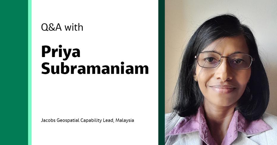
For this feature, we caught up with our Geospatial Capability Lead in Malaysia, Priya Subramaniam, to better understand the geospatial field, its relevance, her fascination with it and the transformational impact of digital technologies on geospatial innovations.
Hi, Priya! Tell us more about your role at Jacobs.
My role as a geospatial lead in Malaysia at Jacobs is to ensure that an organization's Geographic Information System (GIS) initiatives are aligned with its overall strategy and goals. This means ensuring our solutions are delivered on-time, within budget and to the required quality standards. My work requires proficient management of GIS projects, data, technology, personnel and coordination with internal and external stakeholders to effectively utilize GIS technology to attain business goals.
Can you tell us how the work you do is helping solve our clients’ biggest challenges?
GIS plays a crucial role in enhancing data solutions by providing a spatial perspective to various types of information. GIS technology integrates geographical data, mapping and analysis tools to understand spatial relationships better, enabling organizations and individuals to visualize and interpret data more effectively, leading to better decision-making.
When did you first know you would like a pursue a career in this field and what set you on your course?
My interest in GIS started early in my career. I became fascinated by the power of mapping and spatial analysis to solve complex problems. As I learned more about GIS and its applications, I knew I wanted to pursue a career in this field.
What set me on my course was a combination of factors:
- The unique and diverse applications of GIS, ranging from urban planning to environmental conservation, sparked my curiosity and passion for the field.
- The rapidly evolving technology and innovation in GIS made it an exciting field to work in.
- The opportunity to use my technical skills and problem-solving abilities to make a meaningful impact on society and the environment was a compelling motivator.
As I began my career in GIS, I was fortunate to have mentors and colleagues who provided guidance and support along the way. Through their mentorship and collaboration, I developed my skills and gained exposure to various GIS applications and technologies. This helped to solidify my passion for GIS and set me on a path toward becoming a GIS manager.
Overall, my early interest in GIS, combined with a passion for the field, exposure to various applications and technologies, and support from mentors and colleagues, set me on a course toward a successful career in GIS.
How have digital technologies transformed the geospatial field in recent years, and what do you think will be the key technologies driving the field forward?
Digital technologies have significantly transformed the geospatial field in recent years, revolutionizing how spatial data is collected, processed, analyzed and utilized. The key technologies that are likely to drive the geospatial field forward in the future include:
- Artificial intelligence (AI) and Machine learning (ML): These technologies will further enhance data analysis, pattern recognition, and predictive modeling based on geospatial data.
- Edge computing: Processing geospatial data at the edge will reduce latency and enable real-time decision-making in applications like autonomous vehicles and disaster response.
- Spatial computing: The convergence of augmented and virtual reality and spatial data will enable more immersive and interactive user experiences, enhancing visualization and understanding of spatial information.
- Advanced sensor technologies: Continued advancements in sensors, such as hyperspectral imaging and advanced LiDAR, will provide even more detailed and accurate spatial data.
- Environmental monitoring and climate analysis: Geospatial technologies will be crucial in monitoring climate change, natural resource management and environmental conservation.
- Autonomous systems: Self-driving cars, drones and other autonomous systems will heavily rely on geospatial data for navigation, obstacle avoidance and decision-making.
- Privacy and ethical considerations: As geospatial data becomes more pervasive, ensuring data privacy, security and ethical use will be critical focus areas.
- Interconnected smart cities: Geospatial technologies will be instrumental in creating smarter and more efficient urban environments through data-driven decision-making and optimized resource allocation.
- Collaborative platforms: Continued development of cloud-based GIS platforms will foster greater collaboration and data sharing among geospatial professionals.
Overall, the geospatial field will evolve as digital technologies advance, providing innovative solutions to various sectors and challenges.
“Digital technologies have significantly transformed the geospatial field in recent years, revolutionizing how spatial data is collected, processed, analyzed and utilized. The geospatial field will continue to evolve as digital technologies advance, providing innovative solutions to a wide range of sectors and challenges.”
What is the importance of data privacy and security in the context of geospatial data?
Data privacy and security are of paramount importance in the context of geospatial data due to the sensitive nature of location-based information. Geospatial data often includes details about people's movements, habits and locations, which can be used to infer personal information and potentially compromise individuals' privacy.
Here's why data privacy and security are crucial in the geospatial context:
- Personal privacy: Geospatial data can reveal individuals' routines, residences, workplaces and even sensitive locations they visit. Unauthorized access to this data can lead to stalking, harassment or invasion of privacy.
- Identity theft: Geospatial data can be linked to personal identifiers, making it possible for malicious actors to piece together profiles of individuals and potentially engage in identity theft or fraud.
- Security risks: If unauthorized parties access geospatial data of critical infrastructure, government facilities or military installations, it could pose security risks and compromise national interests.
- Discrimination and bias: Geospatial data can inadvertently perpetuate biases and discrimination when used in decision-making processes, such as lending, insurance or law enforcement.
- Business confidentiality: Location-based data can reveal business strategies, supply chains and competitive advantages. The leakage of such information can harm organizations' competitiveness.
From your view, what can we do to improve data privacy and security in geospatial data?
There are several improvements that can be made:
- Data encryption: Encrypt geospatial data at rest and during transmission to ensure that the data remains unreadable to unauthorized parties even if intercepted.
- Access control: Implement strict access controls to limit who can access geospatial data. Use role-based access to ensure only authorized individuals can view or manipulate the data.
- Anonymization and aggregation: Anonymize or aggregate geospatial data to prevent the direct identification of individuals while still allowing for useful analysis.
- User consent: Obtain explicit consent from individuals before collecting and using their geospatial data. Clearly explain how the data will be used and allow users to opt-out.
- Privacy by design: Integrate privacy considerations into the design of geospatial applications and systems. Minimize data collection to only what's necessary for the intended purpose.
- Regular audits: Conduct regular security audits to identify and address vulnerabilities promptly. This includes both technical and operational aspects of data security.
- Secure APIs and interfaces: If sharing geospatial data through APIs or interfaces, ensure these endpoints are secure and adequately authenticated to prevent unauthorized access.
- Data minimization: Collect and retain only the minimum necessary geospatial data for the intended purpose. Dispose of data that is no longer needed.
- Transparency: Be transparent about the use of geospatial data, who can access it and how long it will be retained. In the event of any data breaches, users should be informed promptly.
- Regulatory compliance: Stay up to date with relevant data privacy laws and regulations and ensure compliance in collecting and processing geospatial data.
- Education and training: Educate employees and users about the importance of data privacy and security in the geospatial context. Train them to follow best practices and protocols.
- Secure development: Apply secure coding practices when developing geospatial applications to prevent vulnerabilities that could be exploited.
By implementing these measures, organizations can mitigate the risks associated with geospatial data and ensure that individual privacy is respected while still benefiting from the insights that geospatial information can provide.
Tell us about an achievement are you most proud of.
One of the achievements I’m most proud of as a geospatial lead was the successful implementation of a GIS land use basemap or database for a state government. The project involved designing, gathering data and implementing a comprehensive GIS land use basemap or database that could be used by various departments across the city, including public works, planning and transport.
To accomplish this, I worked with stakeholders to identify their needs and requirements and a team of economists, urban and transport planners, engineers, foresters and agriculturists to build the basemap or database. We integrated various data sources, including satellite data, street maps and land cover and developed web applications to visualize and analyze the data.
What challenges have you faced as a woman in geospatial work, and how can we support more women and girls in this field?
As with many other STEAM fields, women have historically faced numerous challenges and barriers in the GIS field. These include a lack of representation and mentorship, unconscious bias and a lack of access to resources and opportunities.
Several steps can be taken to combat these barriers and make it easier for girls and women to pursue careers in GIS, including:
- Increasing representation: Encouraging and supporting more women to pursue GIS careers and increasing the representation of women in leadership positions can help combat the unconscious bias that women may face in the field.
- Providing mentorship and support: Establishing mentorship programs and support networks for women in GIS can help guide and support those entering the field.
- Providing equal access to resources and opportunities: Ensuring that girls and women have access to the same resources and opportunities as their male counterparts can help level the playing field and promote gender equality in the field.
- Promoting awareness and education: Raising awareness about the challenges faced by women in GIS and promoting education and training opportunities for girls and women can help to empower them to pursue careers in the field.
By taking these steps, we can combat the barriers that women face in the GIS field and create a more equitable and diverse industry that benefits everyone.
What advice for success would you give to the next generation pursuing a career in this field?
To gain a solid foundation in GIS, it's important to understand core concepts and develop skills in software like ArcGIS or QGIS. Focus on problem-solving, collaboration and networking. Stay curious and keep learning through online resources and exploring new technologies. Develop soft skills like communication, teamwork and leadership to work effectively in cross-functional teams.
A successful career in GIS requires a combination of technical skills, problem-solving abilities, collaboration, curiosity and ethical considerations. By developing these skills and staying current with the latest developments in the field, you can build a rewarding and fulfilling career in GIS.
What do you enjoy most about being part of #OurJacobs?
I enjoy the collaborative and innovative environment that Jacobs fosters. Being part of a diverse and forward-thinking community provides opportunities to contribute to meaningful projects, engage in problem-solving and interact with experts from various fields. The chance to learn and grow while working on cutting-edge technologies and initiatives is a rewarding aspect of being part of this community.
About the interviewee

Priya Subramaniam has over 18 years of experience in geospatial, surveying and aerial mapping. She has experience in digital mapping, including but not limited to digital terrain model (DTM) and digital elevation model (DEM) collection using color digital camera systems (small and large format), light detection and ranging (LiDAR) sensors and unmanned aerial vehicle (UAV).
Join #OurJacobs team
What drives you drives us as we work to build a better world – together. At Jacobs, every day is an opportunity to make the world better, more connected, more sustainable. We’re always looking for dynamic and engaged people to join our team. Bring your passion, your ingenuity and your vision.


