


News
Oct 28, 2020
-
Save to favoritesShare with your friends
-
This article is repurposed from a keynote speech Jacobs Global Geospatial Solutions Director Michelle Watson will be giving Oct. 28 at the Esri Infrastructure Management & GIS Conference, a global event that brings together professionals specializing in the management of infrastructure from several interconnected industries—water; electric; gas and pipeline; telecom; transportation; and architecture, engineering and construction (AEC).
Increasingly it is being realized that today's problems can no longer be solved by yesterday's thinking. The idea that any particular challenge is one dimensional, that is to say a traffic congestion problem is the sole domain of transport planners or the lack of water a water engineering problem, is a failure to understand the real dynamics of a problem.
Technology is helping us to step back and begin to reframe today’s challenges, allowing us to see the complex networks and ecosystems that surround them, to alter one parameter to understand its effects on another and so on and so forth.
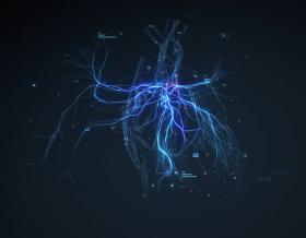
One long standing discipline on the rise within our team, geospatial solutions, is now playing an important and central role in helping us to understand our world’s networks and ecosystems. Advancements in cloud computing and platform integration have transformed the art of the possible. Location-based intelligence has moved well beyond the world of individual desktop applications, dark rooms with stereoscopes and 1990's theodolites. When we look beyond traditional ways of working, roles and responsibilities, and open ourselves up to the idea that there might be another way – a more collaborative way – then the true value of modern geospatial solutions can be realized.
At Jacobs, our mission is to provide solutions to create a more connected and sustainable world. Within Jacobs, I am a strong advocate for the power and application of geospatial in supporting us achieving this vision. Perhaps put more frankly, I believe that it is only through embracing geospatial skills and technologies that we will realize this vision.
A bold statement you might say.
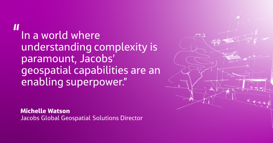
But, to be clear, I am not suggesting that geospatial is the only discipline needed nor am I saying it is the most important, to the exclusion of all others. I am, however, saying that in a world where understanding complexity is paramount, our geospatial capabilities are an enabling superpower.
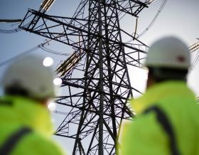
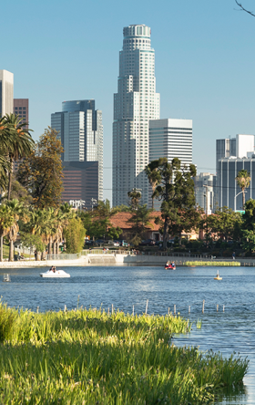
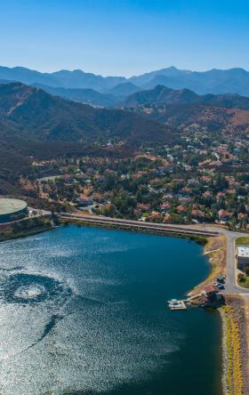
If you have aging assets, increasing stakeholder expectations in terms of cost of living, sustainability, equity, resilience and compliance, compounded by growth and climate variability (floods, fires, storms) – then leveraging the power of location-based intelligence will be essential in how you will overcome these challenges and optimize outcomes.
The effectiveness of this superpower, however is reflected in the strength of partnerships. The diverse and inclusive relationships we create with our clients, our colleagues in other disciplines and our partners, are what enables us to see the bigger picture and reframe both challenges and their solution. Geospatial solutions create and foster collaborative environments where everyone can have a voice and have their views seen/experienced, explored and understood. Geospatial solutions provide a platform for new insights to be discovered as a result of combining both old and new data sources in ways previously not possible or considered not practical or reasonable within the timeframes we often find ourselves facing.
I think it is fair to say, for many within our own industry, digital transformation is daunting. Advancements in technologies are increasingly blurring the lines between disciplines. Transparency in decision making is increasing. Automation of workflows is impacting workload predictions. But where others see threats to their profession, in terms of changes to the way things have been done, I see opportunity. Opportunity to evolve beyond current ways of thinking and problem solving and to utilize location-based thinking to jump start next generation science and engineering. Geospatial offers you the chance to be a pioneer. An explorer.
This is what we are focusing on at Jacobs. Leveraging geospatial solutions to create a more connected and sustainable world – and truly embody our brand promise: Challenging today. Reinventing tomorrow.
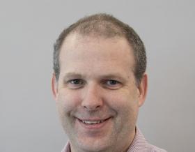
From her early years in university, Michelle Watson saw the potential for how spatial skills and capabilities could shape our world and has been actively harnessing its power ever since. Today, she’s the global director for geospatial solutions at Jacobs, tapping into 20 years of experience across the defense, mining, ports and maritime, water infrastructure and telecommunications industries. Curious by nature, Michelle enjoys understanding how client organizations work and, as a daughter of small business owners, was influenced and is driven to find efficiencies and seek out practical solutions to real problems.